Home Page         Discovery of Atlantis        First Empire-(1) to 261       Second Empire- (1) 361 - 409    
Republicans and Imperialists- (1) 591 - 600
       Third Empire- (1) 648 - 670    The Continental War- (1) 743      
Fourth Empire- (1) 750 - 761
         The Tyrants- (1) 805 - 812      Fifth Empire till 865- (1) 829 - 831   
The Early Final Wars (1)- 865 - 875
      The Later Final Wars (1) 883 - 885      
Geography
    Introduction to maps    Original documents - introduction       Languages - introduction   
The Atlantean Army - till 361
     Atlantean philosophy & religion - till 630     Atlantean symbols   
Government and Society- (1) 200 - 586
     The significance of the background colours    Genealogy- the third century   
Science and Invention 200 - 630

Maps of the Great Continent (note by the editor)

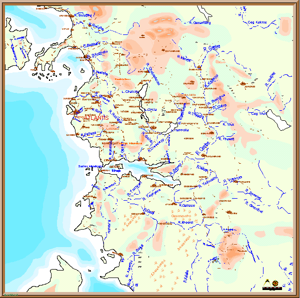
There were numerous maps of the Great Continent in my source, and I have placed the general maps of the whole area here. It seems, according to my source, that a number of maps of parts of the Empire survived the downfall and some of these are reproduced in the source. It is not clear, however, how far they have been altered or remodelled. At any rate, I have simply reproduced them here in a format suitable for the Internet.

This is a map of the whole area. The links beneath it show various parts of this large map in more detail:


Home Page    Introduction to maps      Continent NE       Continent NW    Continent SE    Continent SW