Böhmisch-Röhren
(Ceske Zleby)
Böhmisch-Röhren, also called Röhrenhäuser, and by the Schaller people called Böhmisch-Riehn is a dominical village nine hours WNW from Krummau on a mountain of the same name and on the Goldener Steig Route near the border of Bavaria. It has 42 houses and 545 people. The local church, St. Anna, and school were built in 1789 are also under the patronage of the duke. There is also a border control office, a hunters residence of the duke and a mill all 1/2 hour walk SE from the village. There are new houses ( also called Moorhäuser) which make up three dominical settlements twenty minutes SW on the country border. The village developed because of the Goldener Steig Route and its name came from a water pipe or fountain from which horses were watered. Part of the parish are the villages of Oberzassau, Schillerberg and Schönberg. per Sommer 1841
| Known home village of: ... |

Village view |
c 1930 |

Monument |
Stone monument with village coat of arms of
Böhmisch-Röhren and with both names Cesky Zleby-Böhmisch-Röhren 2005 |
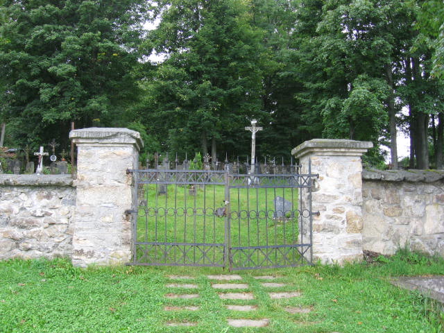
Cemetery |
Names seen in the cemetery include: Mauritz, Fuchs, Robl, Pimiskern, Jungbauer, Spannbauer, Scherz, Kreig + many others 2005 |

Houses |
2005 |